A NEW TOOL FOR OUR RESPONDERS

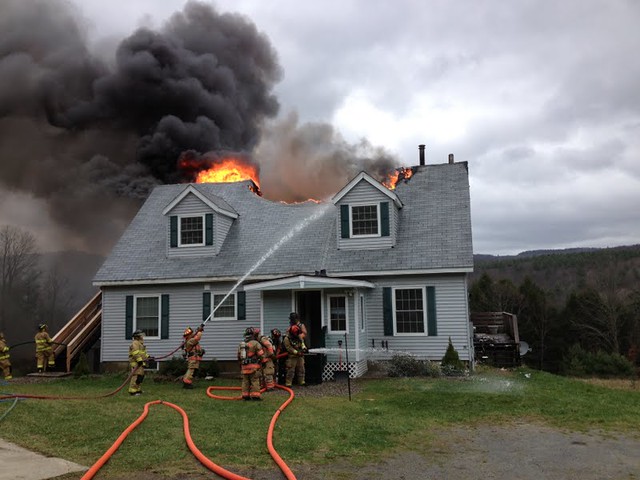
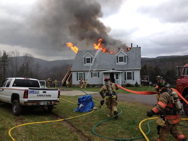
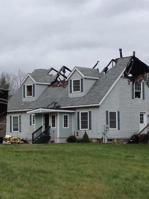
You can now see the live activity at Southwestern NH District Fire Mutual Aid Dispatch Center on line.Simply click on the following link: Click here for the link

Under connect to your department, click on the link in small print that says, click here for a list of active agencies. Then click on Southwestern NH District Fire Mutual Aid. The active calls that are in progress will show on your screen. You will see the street the call is on, the cross streets (if provided), the type of call, times, and responding units. If you click on “Show Details” you will see the units status and a Google map will be displayed showing on the map the location of the call. To hide the details, click on “Hide Details” and the details will go away. The calls you are seeing are actual calls that are going on. When the call is finished, the information for that call will go away. This site refreshes automatically. Our responders can actually save this web site to their smart phones and use this as a tool. We are dedicated to providing the most up to date tools in the industry to further support our responders.

VERMONT WEATHER UPDATE

THE NATIONAL WEATHER SERVICE CONTINUES TO CLOSELY MONITOR THEPROGRESS OF HURRICANE SANDY. THE LATEST OFFICIAL FORECAST TRACKS THE CENTER OF SANDY OVER EXTREME SOUTHERN NEW JERSEY OVERNIGHT. HIGH WIND WARNINGS REMAIN IN EFFECT FOR THE ENTIRE REGION AND A FLOOD WATCH REMAINS IN EFFECT FOR MOST OF EASTERN NEW YORK AND ALL OF ADJACENT WESTERN NEW ENGLAND. AS A REMINDER...IT IS IMPORTANT NOT TO FOCUS ON THE EXACT CENTER AND TRACK OF SANDY AS THIS STORM WILL BE QUITE LARGE AND POWERFUL.

FLOODING IMPACTS...RAINFALL COULD BE EXCESSIVE ACROSS PORTIONS OF EASTERN NEW YORK AND ADJACENT WESTERN NEW ENGLAND...ESPECIALLY ACROSS THE HIGHER TERRAIN. IF YOU LIVE IN A FLOOD PRONE AREA...BE PREPARED IN THE EVENT OF A FLASH FLOOD OR MANDATORY EVACUATION. LISTEN TO YOUR LOCAL EMERGENCY OFFICIALS AND BE ESPECIALLY ATTENTIVE TO ROAD CLOSURES.

DAMAGING WIND IMPACTS...WIND GUSTS UP TO 65 MPH ARE EXPECTED IN THE VALLEYS...AND UP TO 75 MPH OVER THE HIGHER TERRAIN. THESE WIND SPEEDS WILL RESULT IN DAMAGE TO TREES AND POWER LINES. ITEMS LEFT OUTDOORS MAY BECOME EXTREMELY DANGEROUS PROJECTILES. ALSO WIDESPREAD POWER OUTAGES ARE EXPECTED.

COMMUNICATIONS...OUR MEDIA PARTNERS...SOCIAL MEDIA AND THE INTERNET WILL KEEP YOU INFORMED. YOUR LOCAL NATIONAL WEATHER SERVICE IS AVAILABLE ONLINE AT 1. WEB PAGE WWW.WEATHER.GOV/ALBANY 2. FACEBOOK WWW.FACEBOOK.COM/US.NATIONALWEATHERSERVICE.ALBANY.GOV AND 3. TWITTER TWITTER.COM/NWSALBANY.

REMINDER: ONLY CALL 911 FOR A TRUE EMERGENCY

Please remember that 9-1-1 is reserved for requests for emergency assistance. During the October 16th earthquake, 900 people in New Hampshire called 9-1-1. None needed emergency assistance, but the system was at capacity, putting people with real emergencies in jeopardy. Please follow news outlets and government sites for information updates.

NH WEATHER UPDATE 10/29/12 AT 10:30

Entire state continues to be under a High Wind Warning, Flood Watch for most of the state, Coastal Flood Warning for Rockingham County A Weather Advisory is issued if after review of pertinent weather information it is determined that escalating emergency conditions may be possible.

Today, the impacts from Hurricane Sandy will begin. The impacts are listed below, separated by type. The forecast includes the period through Tuesday afternoon in order to cover the entire storm.

Rainfall: Rainfall amounts of 1-3 inches will be widespread across the region. Localized totals of 3-4 inches can’t be ruled out. The heaviest rain should be from 3pm Monday through 2am Tuesday for areas south of the Lakes Region and 6-8pm today through 8-10am Tuesday across areas of the state north of the Lakes Region. We should see the heavier rain taper to scattered showers that will be lighter after 10 am through the day on Tuesday.

Wind: Widespread damaging winds will be possible over an extended period of time. Winds will continue to gradually ramp up Monday morning. The strongest wind period should be from noon Monday through about 2am Tuesday morning. During this time, the New Hampshire Seacoast should see sustained winds of 25-45 mph, with gusts of 45-60 mph. Expect sustained winds of 25-40 mph, with gusts of 40-55 mph across the interior areas of the state. The interior winds should be strongest along the higher elevations. Winds should gradually settle down after 2am Tuesday morning. We should see peak gusts of 30-40 mph across the region by morning and this should hold through most of Tuesday. The winds should continue to settle down later Tuesday.

Thunder: Low amounts of lightning will be possible from 3pm to 10pm Monday and from 10am Tuesday to 8pm Tuesday. In addition, isolated tornadoes cannot be ruled out during these times. The chances of this will be 5%.

Storm surge: Onshore winds will bring an enhanced risk of coastal flooding across the New Hampshire Seacoast at times of high tide. The storm surge should peak at 3-5 feet from 3pm Monday through 11pm Monday. There should be two periods of significant coastal flooding with the high tides. The first will be from 9am this morning through 3pm this afternoon with a max around noontime. We should see minor coastal flooding during the day Monday. Minor or moderate coastal flooding could also occur from around 6-7pm this evening through 3am tonight with a max around midnight.

HURRICANE SANDY FOR THE VERMONT TOWNS

...HIGH WIND WARNING IN EFFECT FROM 6 AM MONDAY TO 11 AM EDTTUESDAY...

THE NATIONAL WEATHER SERVICE IN ALBANY HAS ISSUED A HIGH WIND WARNING...WHICH IS IN EFFECT FROM 6 AM MONDAY TO 11 AM EDT TUESDAY. THE HIGH WIND WATCH IS NO LONGER IN EFFECT.

* LOCATIONS...ALL OF EAST CENTRAL NEW YORK AND ADJACENT WESTERN NEW ENGLAND.

* HAZARDS...STRONG AND DAMAGING WINDS.

* WINDS...NORTHEAST 30 TO 40 MPH WITH GUSTS UP TO 60 MPH IN VALLEY LOCATIONS AND UP TO 75 MPH ACROSS THE HIGHER TERRAIN.

* TIMING...STRONG WIND GUSTS WILL PICK UP MONDAY MORNING AND WILL CONTINUE UNTIL TUESDAY MORNING. THE MOST SIGNIFICANT GUSTS WILL LIKELY OCCUR BETWEEN MONDAY EVENING AND MIDNIGHT ON MONDAY NIGHT.

* IMPACTS...STRONG WINDS WILL LIKELY BRING DOWN TREES AND POWERLINES...WITH WIDESPREAD POWER OUTAGES POSSIBLE. THESE DOWNED TREES MAY IMPEDE TRAVEL. ALSO ANY LOOSE OBJECTS CAN EASILY BE PROPELLED WITH THE STRENGTH OF THE EXPECTED WIND. SOME DAMAGE TO POORLY MADE STRUCTURES IS POSSIBLE ACROSS PORTIONS OF THE HIGH TERRAIN.

FROM MONDAY AFTERNOON THROUGH LATE TUESDAY NIGHT.

* A POWERFUL COASTAL STORM RESULTING FROM HURRICANE SANDY WILL AFFECT THE AREA WITH HEAVY RAINFALL FROM MONDAY THROUGH TUESDAY NIGHT. TOTAL RAINFALL AMOUNTS ARE GENERALLY EXPECTED TO BE 2 TO 4 INCHES ACROSS THE HIGHER TERRAIN OF THE SOUTHEAST ADIRONDACKS...SOUTHERN GREEN MOUNTAINS OF VERMONT...BERKSHIRES...AND LITCHFIELD HILLS...WITH UP TO 6 INCHES POSSIBLE ACROSS NORTHEAST FACING SLOPES OF THE CATSKILLS. VALLEY LOCATIONS SUCH AS THE MOHAWK AND HUDSON VALLEYS CAN EXPECT AROUND 1 TO LOCALLY 2 INCHES OF RAINFALL.

* RUNOFF FROM THE HEAVY RAINFALL COULD LEAD TO FLOODING OF MAIN STEM RIVERS...STREAMS...AND POOR DRAINAGE LOCATIONS. TIDAL FLOODING IS POSSIBLE ALONG THE HUDSON RIVER FROM POUGHKEEPSIE NORTHWARD TO ALBANY. LEAVES MAY CLOG STORM DRAINS...WHICH COULD CAUSE ADDITIONAL FLOOD PROBLEMS. IF HEAVY RAIN FALLS WITHIN A SHORTER AMOUNT OF TIME...THERE WOULD BE A RISK OF ISOLATED FLASH FLOODING AS WELL.